Welcome to Roybal Surveying.
Look no further! Click the link below and get in touch with me today!

ABOUT US
Reliable land surveying and mapping solutions for New Mexico's diverse terrain.
Contact Roybal Surveying today, and let us be your reliable partner in achieving your land surveying needs across the enchanting landscapes of New Mexico.
OUR SERVICES
New Mexico Surveying Services
Look no further! Click the link below and get in touch with me today!
For Homeowners and Individual Landowners

Boundary Surveys
Accurately delineate property lines to help homeowners understand their land’s exact boundaries and avoid encroachments.

Topographic Surveys
Create detailed elevation maps aiding in project planning, landscaping, or drainage improvements for homeowners.

ALTA/ACSM Surveys
Essential for mortgage applications, ensuring accurate property lines for secure title insurance.

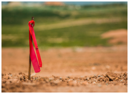
Construction Staking
Mark precise locations for buildings and structures to guide construction efforts effectively.

Construction Staking
Mark precise locations for buildings and structures to guide construction efforts effectively.


Construction Staking
Mark precise locations for buildings and structures to guide construction efforts effectively.
For Developers and Contractors

Site Planning and Development Surveys
Offer a comprehensive understanding of land features and challenges for development projects.

Utility Surveys
Locate underground utilities to prevent damage during construction, including gas lines, water lines, and sewer lines.

As-Built Surveys
Document exact dimensions and locations of completed structures for permitting and record-keeping.

Volume/Cut/Fill Surveys
Calculate earthwork needed for grading and excavation during construction endeavors.

Right-of-Way Surveys
Determine easements and rights-of-way for roads, pipelines, and utilities to ensure compliance and planning accuracy..


Right-of-Way Surveys
Determine easements and rights-of-way for roads, pipelines, and utilities to ensure compliance and planning accuracy..
For Government Agencies and Municipalities

Control Surveys
Establish precise reference points for various surveys, ensuring accuracy and consistency.

Photogrammetry and Mapping
Utilize aerial photography and sophisticated software to create detailed maps of large areas.

GPS/GNSS Surveys
Employ satellite technology for highly accurate location determinations, aiding in various municipal initiatives.

Floodplain Mapping
Identify flood-prone areas crucial for informing development regulations and implementing mitigation strategies.

Boundary Disputes Resolution
Assist in resolving boundary disputes by analyzing historical records, conducting surveys, and providing expert testimony to support legal proceedings.


Boundary Disputes Resolution
Assist in resolving boundary disputes by analyzing historical records, conducting surveys, and providing expert testimony to support legal proceedings.